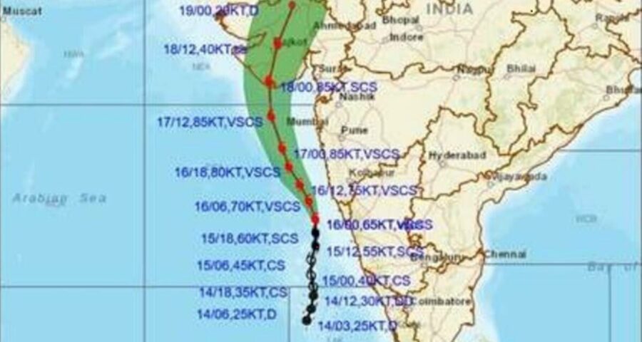
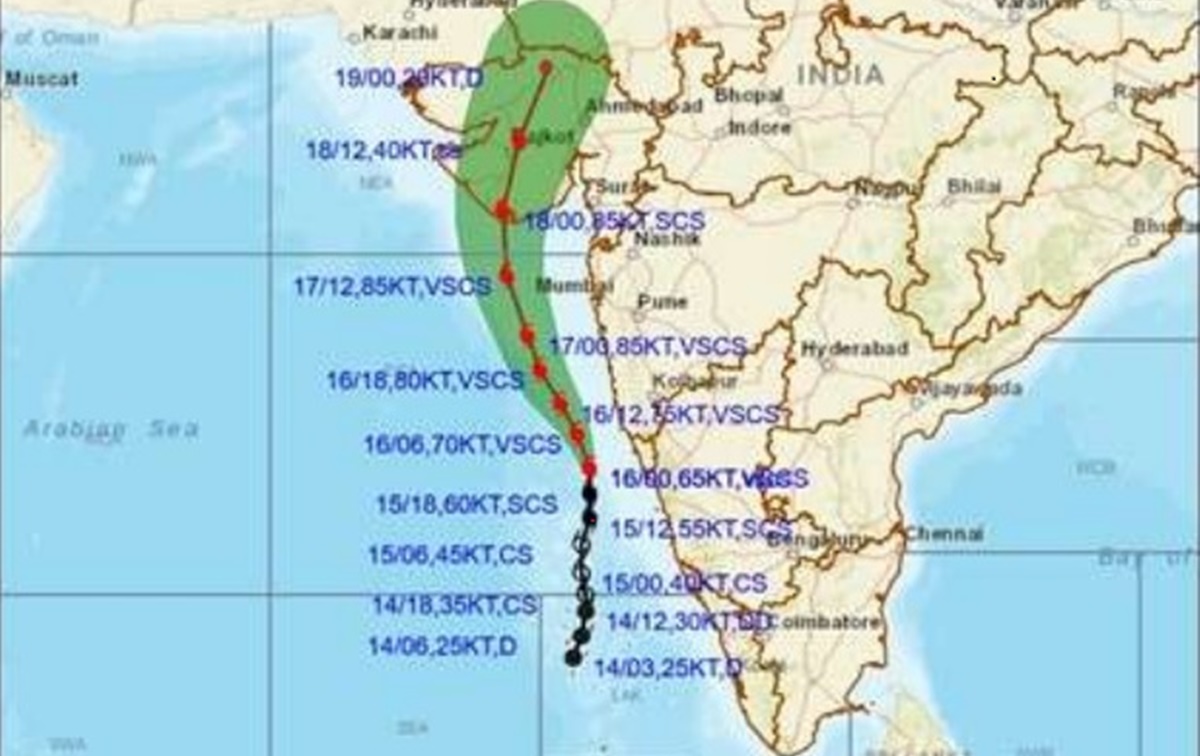
It will cross as a Very Severe Cyclonic Storm between Porbandar and Mahuva in the Bhavnagar district of Gujarat sometime during the morning hours of May 18.
Cyclone Taukate has obtained its maximum intensity in the wee hours of Sunday and has now become a Very Severe Cyclonic Storm (wind speed of 118 to 166 km / hr).
The latest cyclone alert issued by the India Meteorological Department (IMD) has said that this storm would reach close to Gujarat coast by Monday evening. It will cross as a Very Severe Cyclonic Storm between Porbandar and Mahuva in the Bhavnagar district of Gujarat sometime during the morning hours of May 18.

Presently, cyclone Tauktae lay over the east-central Arabian Sea about 130kms west-southwest of Panjim, Goa, 450kms south of Mumbai and 700 kms south-southeast of Veraval, Gujarat and 840kms southeast of Karachi, Pakistan.
During the past six hours, this system travelled at a speed of 11kms/hr.
The Met department has warned of heavy to very heavy rainfall on Sunday and Monday over Konkan, Goa. Light to moderate intensity rainfall is expected to continue over coastal Karnataka and Kerala till Monday.
Saurashtra shall begin to experience the effects of the fast approaching cyclone in the form of moderate rainfall beginning on Sunday. Heavy to extremely heavy rain is forecast over Diu, Kutch and Saurashtra on Monday and Tuesday.
Southern Rajasthan shall come under the influence of cyclone Tauktae and receive light to moderate rain on May 18 and 19, the Met department has said.
Source: Read Full Article


