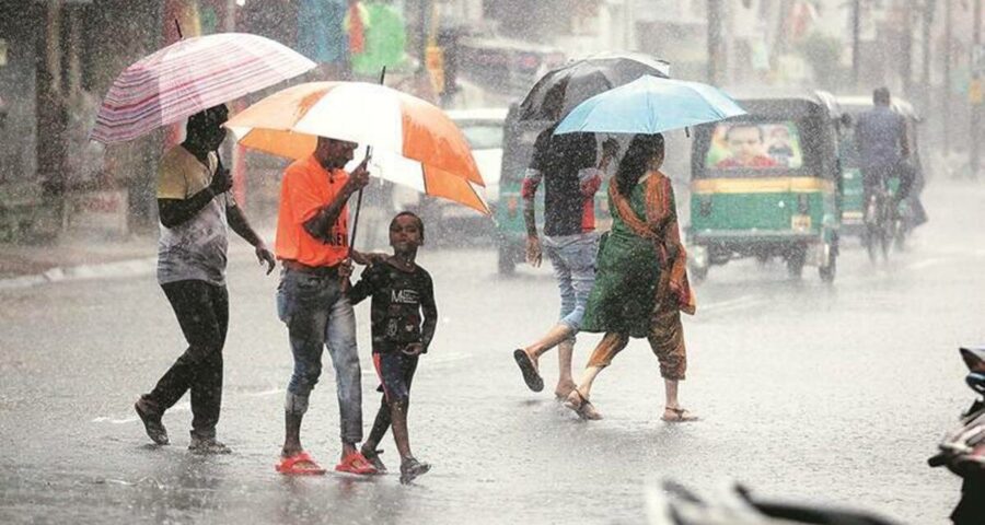
According to the latest update provided by the India Meteorological Department (IMD), Monday's deep depression weakened into a depression on Tuesday morning, and was located 80 km west-northwest of Jharsiguda, Odisha and east-southeast of Ambikapur in Chhattisgarh (as of 8.30 am on Tuesday).
Chhattisgarh, Madhya Pradesh and north Maharashtra are set to receive heavy rain on Tuesday and Wednesday.
According to the latest update provided by the India Meteorological Department (IMD), Monday’s deep depression weakened into a depression on Tuesday morning, and was located 80 km west-northwest of Jharsiguda, Odisha and east-southeast of Ambikapur in Chhattisgarh (as of 8.30 am on Tuesday).
Gujarat and Odisha have recorded very high rainfall (24-hour rainfall) for the second consecutive day. Some of the locations in Odisha include Talcher – 390mm, Birmaharajpur – 372mm, Tikarpara – 350mm, Sonepur – 280mm. In Gujarat and Saurashtra region, similar rainfall was recorded over Kalavad – 410mm, Junagad – 210mm, Rajkot – 200mm and Porbandar – 170mm.
As this system moves towards west-northwest, the Met department has warned of extremely heavy rain (more than 204.4mm in 24 hours) over Chhattisgarh and east Madhya Pradesh, heavy rain (64.5mm to 105.5mm in 24 hours) over Odisha, Jharkhand, east Uttar Pradesh, north Konkan and north Madhya Maharashtra, south Gujarat and Saurashtra on Tuesday.
With further progress of the system in the next two days, rainfall will continue over these states and rain is forecast over east Rajasthan, Delhi, Chandigarh and Haryana on Wednesday and Thursday.
“The system is likely to weaken into a well-marked low-pressure system during the next 48 hours,” the IMD said in its Tuesday afternoon bulletin.
Source: Read Full Article


