Offers data based on sea surface temperatures, chlorophyll, and sea currents
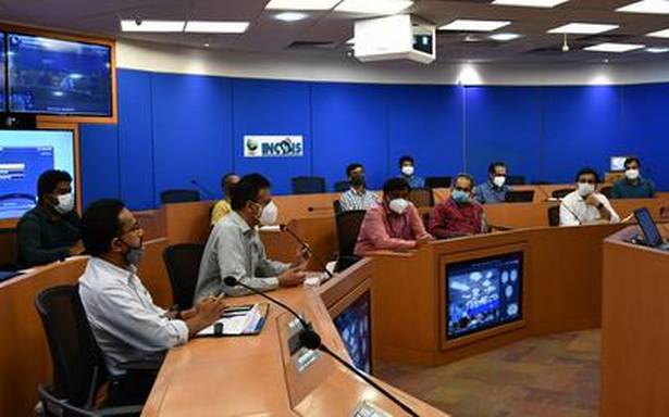
Hyderabad-based Indian National Centre for Ocean Information Services (INCOIS), under the Ministry Of Earth Sciences (MoES), which is involved in oceanic observations, research and advisories, is also directly in touch with stakeholders like the fishermen across the coastline.
Close to nine lakh fishermen are on the contact list for getting daily messages on their mobile phones on potential fishing sites and at what depths the catch is available with data based on sea surface temperatures, chlorophyll, sea currents and the likes.
“For more than a decade, we have been able to help the fishermen improve the economics of fishing with advisories giving precise location of fish availability. This not only ensures a better catch but the usage of fuel is also less as they need not sail deep in search, thus reducing the time and overall expenditure,” explained INCOIS director T. Srinivasa Kumar.
A commercially important fish like ‘tuna’ prefers a certain water clarity and certain level of oxygen for their body metabolism. So this helps in tracking their movements on the sea. Similar advisories are being developed for ‘hilsa’ variety too. The fish advisories are also put up on electronic display boards in fishing harbours in the respective local languages and on the websites, he said.
Local measurements
“Fishermen in each region across the coastline have their own unique depth calculations rather than metres. So, we give them information in local flavour measurements of ‘Phadham’ and ‘Barah’ for them to assimilate our advisories,” said Dr. Kumar. With regular ocean state forecasts, alerts on tidal wave heights, swells and so on, cautioning the fishermen, they are also assured of safety when they venture out.
Enhanced accuracy
Over the years with improved satellite imagery, telemetry studies and observations from various measuring instruments on sea, the accuracy of the advisories to the fishermen has been enhanced, including potential fishing prospects of species like ‘mackerel’ and ‘sardines’, said senior scientist and group director of Operational Ocean Services & Applied Research (OSAR) T. Balakrishnan Nair.
The country’s coastline is divided into 12 sectors covering all the islands and the mainland with daily advisories referring to 586 specific landmarks/locations on both east and the west coast, he said.
INCOIS also studies the Algal Bloom in the north Arabian Sea, Kochi, Gulf of Mannar and Gopalpur and the coral bleaching phenomenon by monitoring temperature, colour and other indicators. This is to give alerts and advisories as any change can directly affect the fishing activity and impact livelihood. The Coast Guard, Navy, Ports, Industry and voluntary organisations working with the stakeholders are also kept in the loop, added Dr. Nair.
Source: Read Full Article

