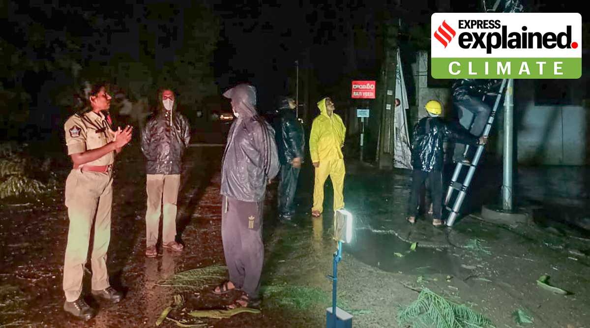
Cyclones are less common during the June to September monsoon season in India, but various reasons came together to allow Cyclone Gulab to form.
Cyclone Gulab developed in September, when the monsoon is still lingering on. The cyclone brought some heavy spells of rain over coastal Andhra Pradesh, and its remnants are now set to continue causing showers along its track covering Telangana, Maharashtra and Gujarat till September 30.
Did India’s cyclone season start early this year?
India has a bi-annual cyclone season that occurs between March to May and October to December. But on rare occasions, cyclones do occur in June and September months.
Cyclones are less common during the June to September monsoon season, as there are limited or almost no favourable conditions for cyclogenesis due to strong monsoon currents. This is also the period when the wind shear — that is, the difference between wind speeds at lower and upper atmospheric levels — is very high. As a result, clouds do not grow vertically and monsoon depressions often fail to intensify into cyclones.
Newsletter | Click to get the day’s best explainers in your inbox
However, this year, Cyclone Gulab developed on Saturday in the Bay of Bengal and later made landfall close to Kalingapatanam in Andhra Pradesh on Sunday evening.
So it can be stated that this year, the cyclone season commenced earlier than usual. The last time a cyclone developed in the Bay of Bengal in September was Cyclone Day in 2018.
Cyclones developed in the Bay of Bengal during September (1950 – 2021)
Source: IMD
What favoured formation of Cyclone Gulab?
” Three factors — the in-sync phase of Madden Julian Oscillation (MJO), warm sea surface temperatures over the Bay of Bengal, and the formation of a low pressure system on September 24 along lower latitudes — aided cyclogenesis,” said Mrutyunjay Mohapatra, director general, India Meteorological Department (IMD).
The system’s intensification phases between low pressure – well-marked low pressure – depression – deep depression and to finally becoming Cyclone Gulab was rather rapid, even as the system moved closer to the south Odisha – north Andhra Pradesh coast, where it also made landfall.
How are remnants of Cyclone Gulab sustaining on land?
Usually, cyclones weaken upon reaching land and fizzle out soon after. Unlike normal September when monsoon withdrawal would commence from dry areas of the northwest India regions, this year, there is plenty of moisture still available. This is mainly fueling the remnants of Cyclone Gulab post its landfall, helping its sustenance over land.
“This being a typical September feature, that too when the southwest monsoon continues to be active, there is moisture available. In addition, the wind shear is weak and there is no obstruction of any kind to weaken the system while on land,” said RK Jenamani, senior forecaster, National Weather Forecasting Centre, New Delhi.
By Monday morning, the cyclone weakened into a deep depression and by evening had further weakened into a depression. As per the latest available update of 7.30pm of Monday, the depression was located over north Telangana, south Chhattisgarh and Vidarbha.
This system is forecast to move towards north Maharashtra – Gujarat coast and further weaken to a well-marked low pressure system during the next 24 hours.
How common is it for cyclones to re-emerge?
“Climatologically, the frequency of cyclones re-emerging may be less but these are not rare events,” added Mohapatra.
In the recent past, Vere Severe Cyclone Gaja (November 2018) had formed in the Bay of Bengal. After making a landfall near Tamil Nadu coast, the system moved westwards and re-emerged off central Kerala coast in the Arabian Sea.
With the present warm conditions prevailing over the north Arabian Sea, chances are high that the remnants of Cyclone Gulab could intensify in the coming days. Once it attains the wind speed of cyclone category (68 to 87 kms/hr), the IMD will give it a new name.
“With both the atmospheric and oceanic conditions favouring cyclogenesis, there is strong possibility that the system could re-emerge in the north Arabian Sea close to Gujarat coast,” said Roxy Mathew Koll from Indian Institute of Tropical Meteorology, Pune.
Corroborating this probability of system intensification and further westward movement, Jenamani said the chances of another cyclone developing is ‘moderate’ , that is, 51 to 75 per cent chances in favour.
“The re-emergent system may not affect India, but IMD has alerted the Indian Ocean countries as the warning is important for fishermen who are already out in the sea,” said Mohapatra.
Source: Read Full Article


